...FLOOD WATCH REMAINS IN EFFECT FROM FRIDAY EVENING THROUGH LATE
SATURDAY NIGHT...

* WHAT...Flash flooding caused by excessive rainfall continues to be
possible.

* WHERE...Portions of central, east central, north central,
northeast, northwest, and west central Georgia, including the
following areas, in central Georgia, Baldwin, Bibb, Butts,
Crawford, Houston, Jasper, Jones, Monroe, Peach, Putnam, Twiggs
and Wilkinson. In east central Georgia, Glascock, Greene, Hancock,
Jefferson, Taliaferro, Warren, Washington and Wilkes. In north
central Georgia, Barrow, Cherokee, Clayton, Cobb, Dawson, DeKalb,
Douglas, Fannin, Fayette, Forsyth, Gilmer, Gwinnett, Hall, Henry,
Lumpkin, Morgan, Newton, North Fulton, Pickens, Rockdale, South
Fulton, Union and Walton. In northeast Georgia, Banks, Clarke,
Jackson, Madison, Oconee, Oglethorpe, Towns and White. In
northwest Georgia, Bartow, Carroll, Chattooga, Floyd, Gordon,
Haralson, Murray, Paulding and Polk. In west central Georgia,
Chattahoochee, Coweta, Harris, Heard, Lamar, Macon, Marion,
Meriwether, Muscogee, Pike, Schley, Spalding, Stewart, Talbot,
Taylor, Troup and Upson.

* WHEN...From Friday evening through late Saturday night.

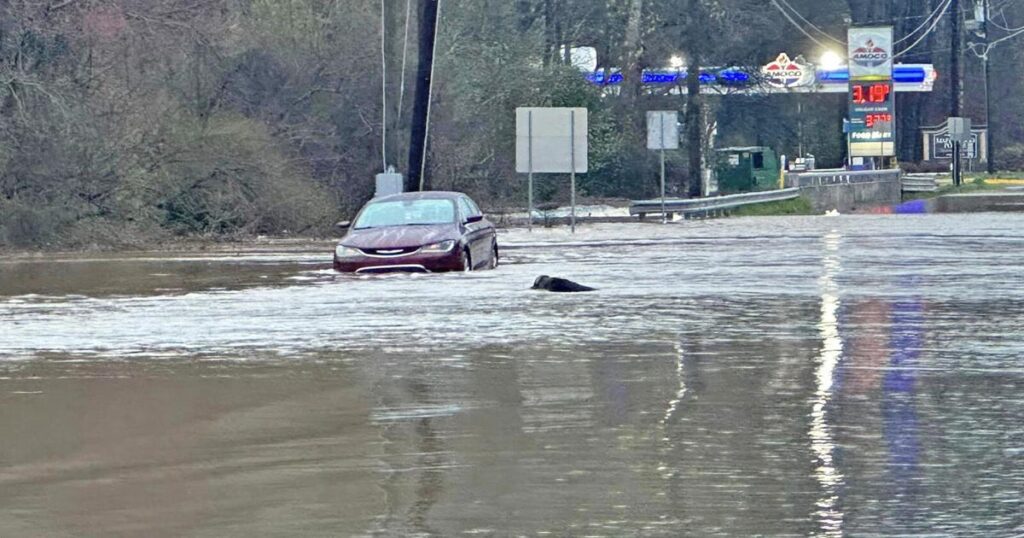
* IMPACTS...Excessive runoff may result in flooding of rivers,
creeks, streams, and other low-lying and flood-prone locations.
Area creeks and streams are running high and could flood with more
heavy rain.

* ADDITIONAL DETAILS...
- A storm system will produce moderate to heavy rainfall in the
region between Friday night and Saturday night. Rainfall
totals of 2 to 4 inches are expected, with locally high
amounts possible. This rainfall combined with saturated soil
- http://www.weather.gov/safety/flood

PRECAUTIONARY/PREPAREDNESS ACTIONS...

You should monitor later forecasts and be prepared to take action
should Flash Flood Warnings be issued.

&&
Read the full article here


