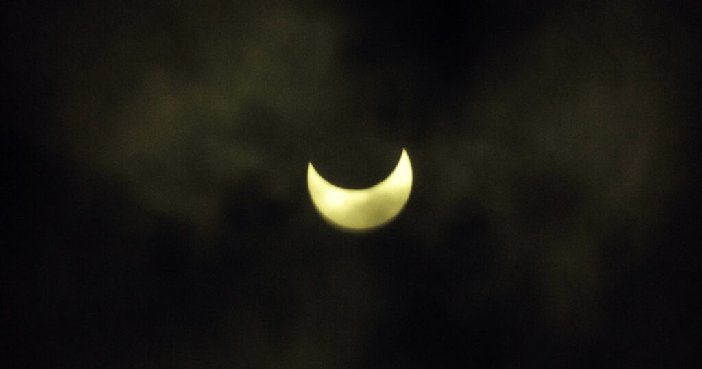
Clouds and storms may potentially obscure views of Monday’s total solar eclipse in states along the path of totality in the southern Plains and the western Gulf Coast.
Around 20 million in Texas, Louisiana, Arkansas and Oklahoma are at risk for severe weather at the start of the week, where multiple rounds of storms are forecast to start Monday afternoon. Very large hail will be the primary threat heading into Monday, with the threat shifting Tuesday across East Texas and Louisiana. Texas will see the most impact, with major cities including Houston, Dallas, Austin and San Antonio in the path of the storms.
In Dallas, storms are forecast to start between 3 and 4 p.m. CT, after the eclipse is expected around 1:30 p.m. CT. In Kerrville and Junction, Texas, the storms could start between 1 and 2 p.m., but they would likely be isolated in nature and only just getting started by that time.
These storms may bring large hail, damaging winds, isolated tornadoes and frequent lightning to the Lone Star State. There’s also a risk of severe storms and flash flooding across much of Texas on Tuesday.
The precise timing and location of the storms aren’t set in stone, but trends seem to show that the storms may likely occur after totality ends.
Low-, mid- and high-level clouds will unfortunately be on the increase Monday ahead of the storms, with mid- and low-level clouds obscuring more of the eclipse than high-level ones.
States where clouds may impede the view of the eclipse include parts of Texas, southern Arkansas, Ohio, northwest Pennsylvania and New York, according to the National Weather Service Weather Prediction Center.
There will be high cirrus clouds, which are thin, wispy, transparent and tissue-paper-like, along much of the eclipse path Monday. The good news is that high cirrus clouds are not enough to totally obscure the view, but instead may look like a thin mask or filter over the eclipse.
Cities in Texas, including Dallas, Kerrville and Junction, are forecast to…
Read the full article here


